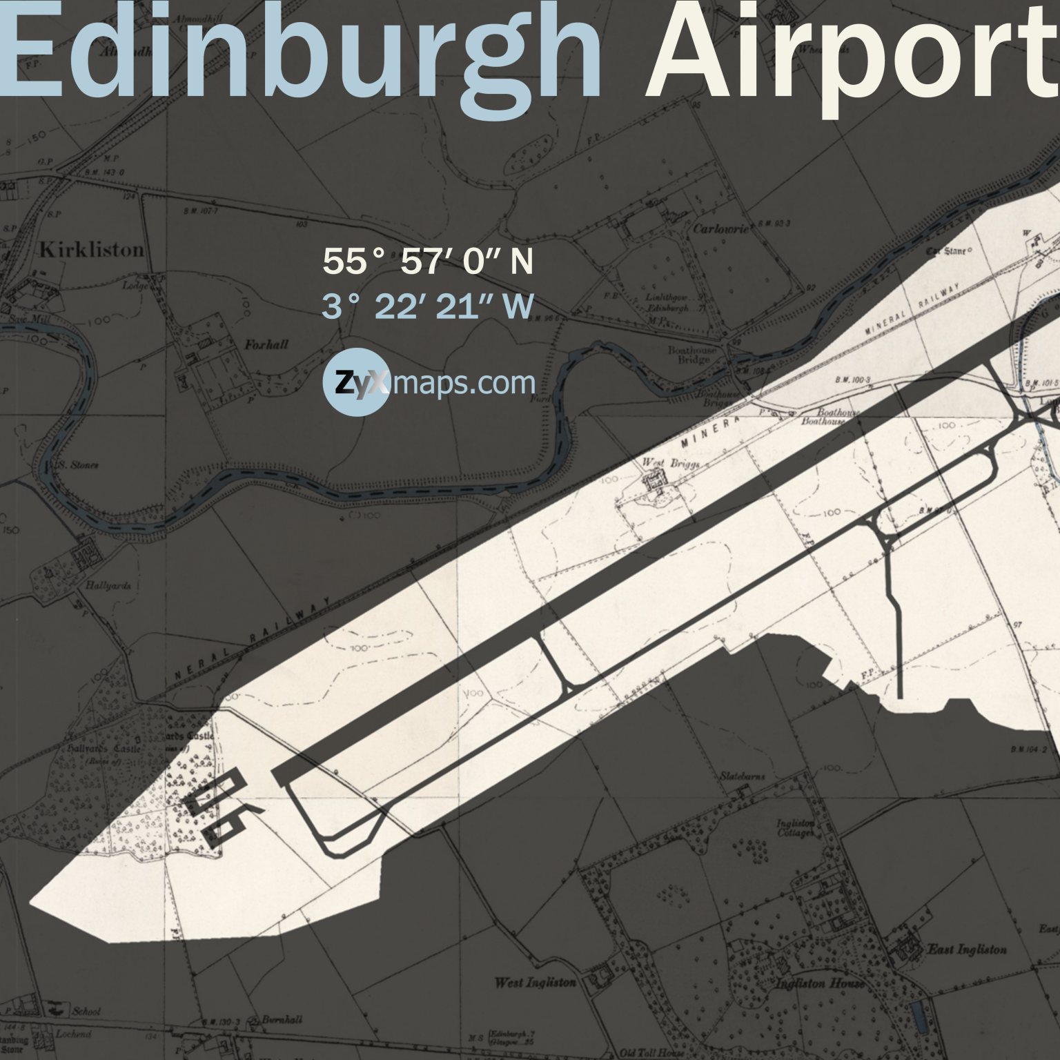
Swipe map to reveal full extent (east-west). Zoom-in (click/pinch) for more detail.
Edinburgh Airport, located in Ingliston, Edinburgh, began its life as Turnhouse Aerodrome in 1916, serving as a military airfield during World War I. The site was used primarily for the Royal Flying Corps, and later the Royal Air Force, playing a key role in Britain’s defense efforts. After World War II, the airfield transitioned to civilian use, and the first commercial flights took off from Edinburgh Airport in 1947.
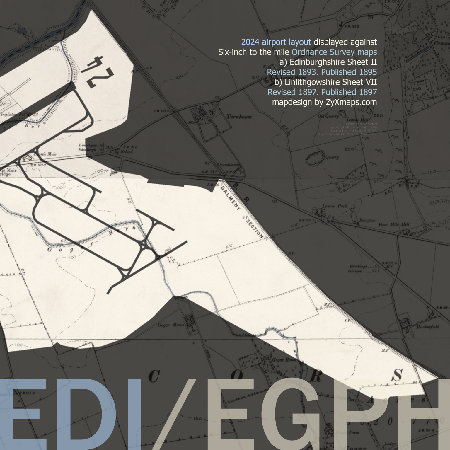
A little stream, Gogar Burn, still flows through the central area of the airport. The shape of the airport in the south-eastern corner indicates the location of second runway 12/30 (NE-SWG, previously 13/31) which was decomissioned in 2018.
Significant development occurred in the 1970s, with the opening of a new passenger terminal in 1977, designed to cater to the increasing number of travelers. The construction of a new runway was also completed in 1977, allowing the airport to accommodate larger aircraft and expand its route network. Over the years, Edinburgh Airport has continued to grow, with numerous upgrades and expansions to its facilities to keep up with the demand for air travel.
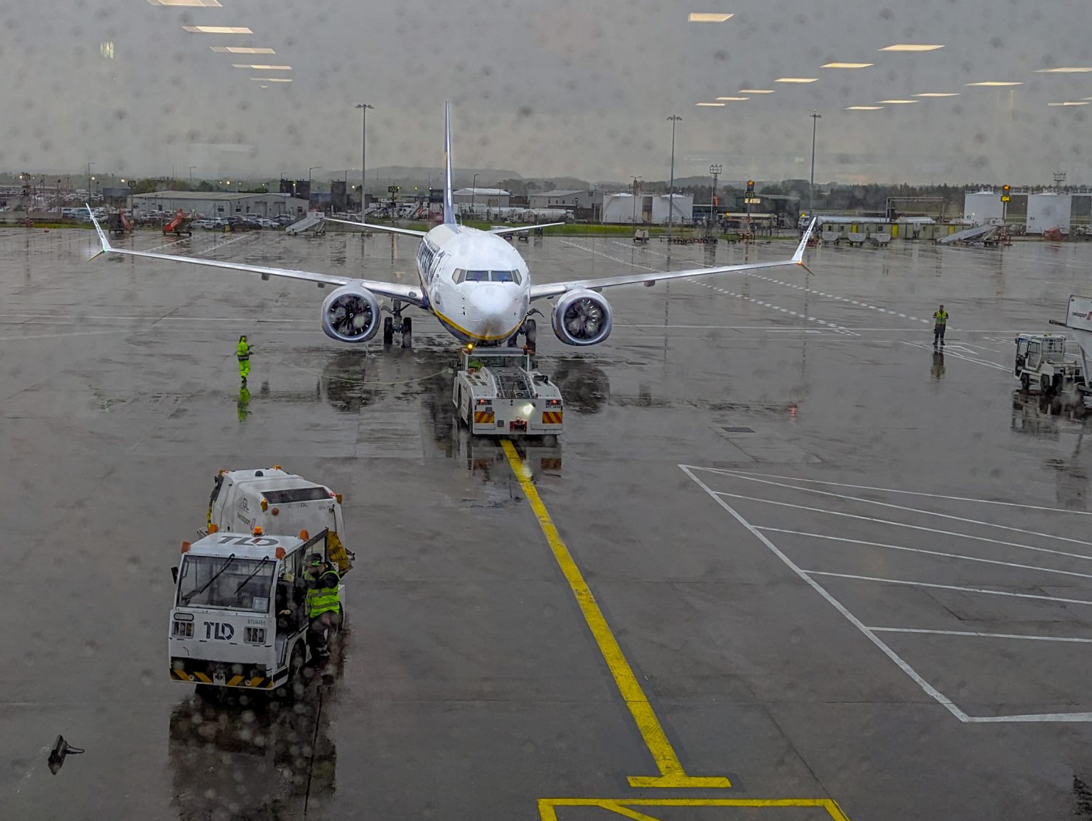
From Edinburgh Ryanair operates various domestic and international routes, to Bournemouth and for Gran Canaria, for example.
Today, Edinburgh Airport is Scotland’s busiest airport, handling over 14 million passengers annually and offering flights to more than 150 destinations worldwide.