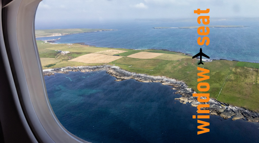
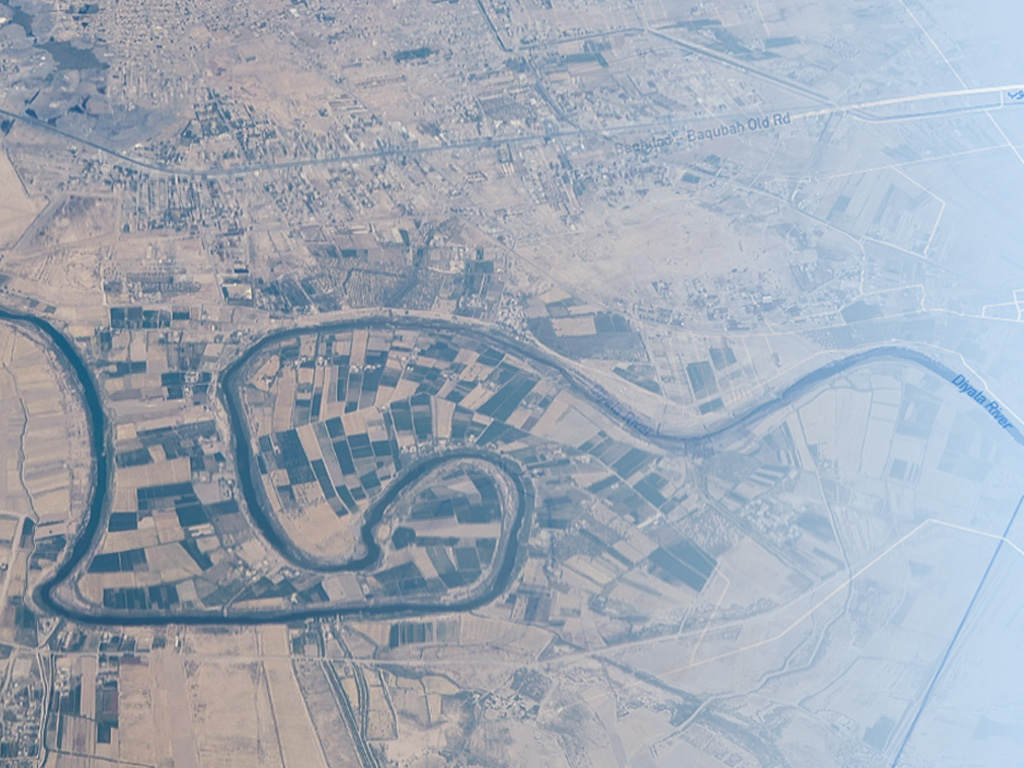
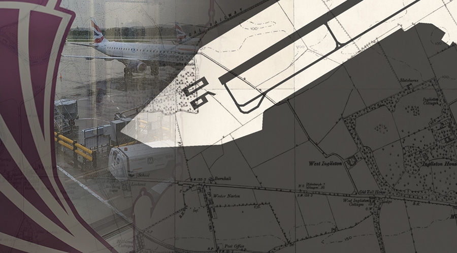
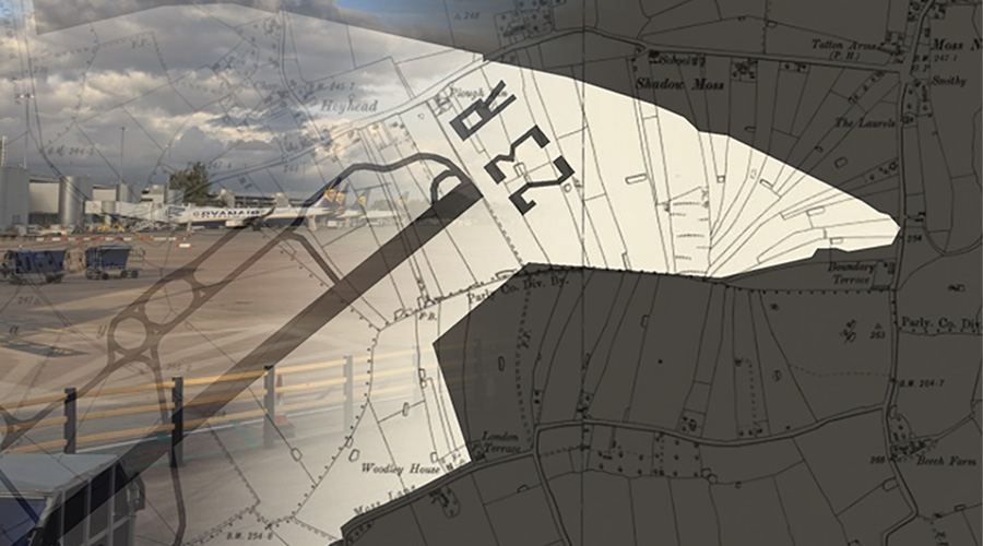
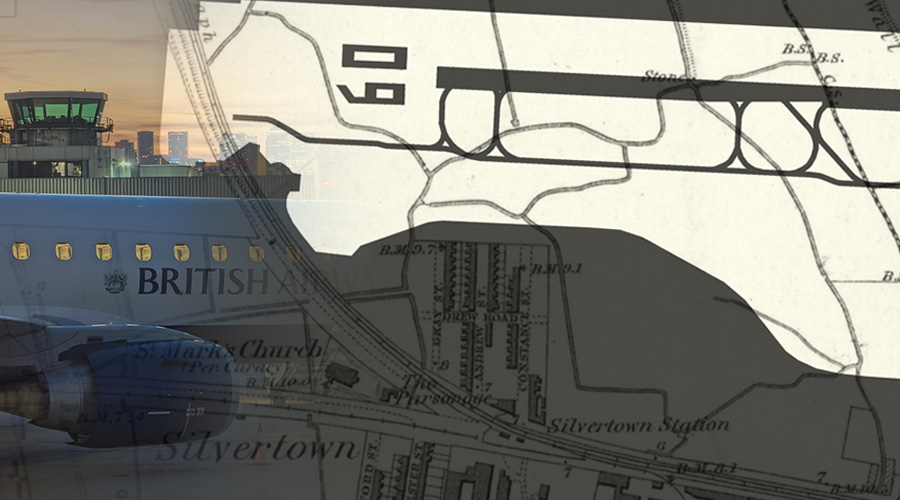
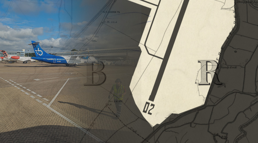
The land occupied by modern day airports looked very different at the beginning of the 20th century. Fields, woodland, villages and streams dominated a landscape that is today paved over by concrete and asphalt. Quiet countryside has given way to millions of passengers and tons of freight being lifted off the surface of the earth.
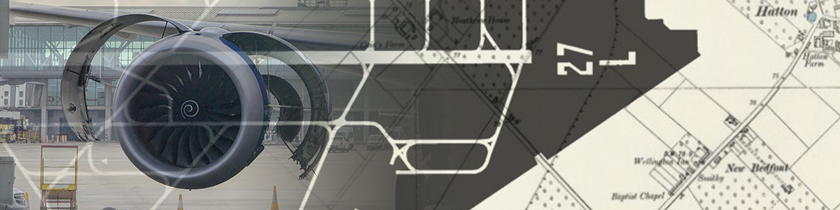
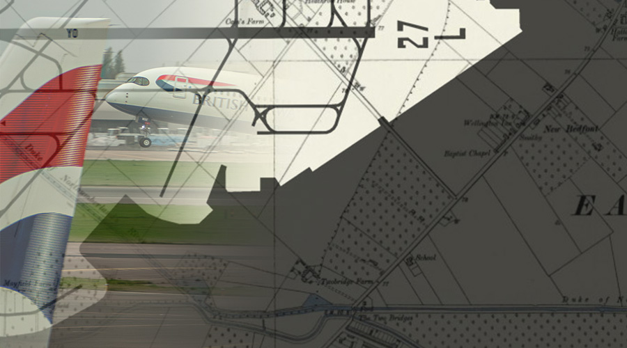
This collection of maps shows the modern airport sites against historic maps from the late 1800s that represent the pre-aviation era landscape. On our maps we draw the 2025 airport perimeter, the layout of runways and taxiways together with the runway directions overlayed on the historic Ordnance Survey’s six-inch to the mile maps.