Home » countries
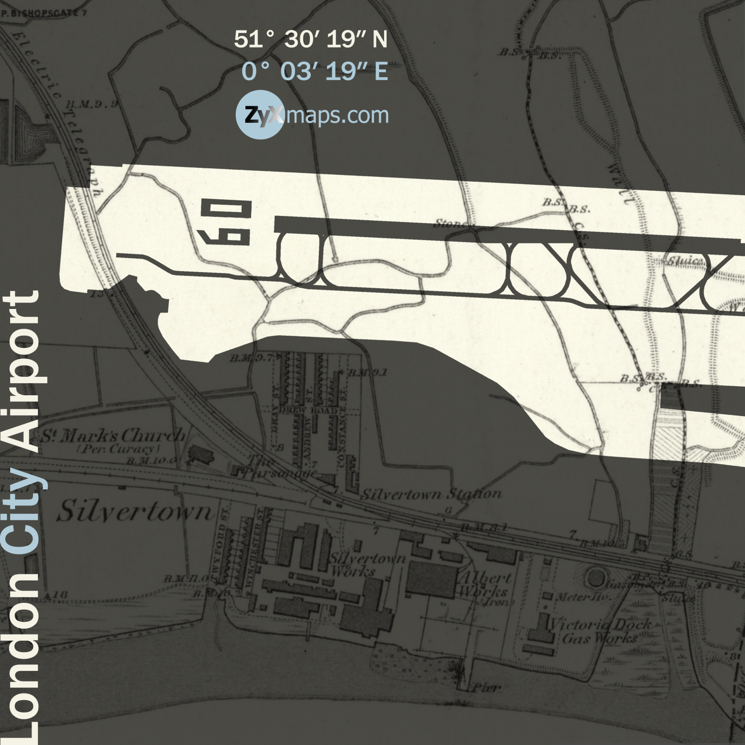
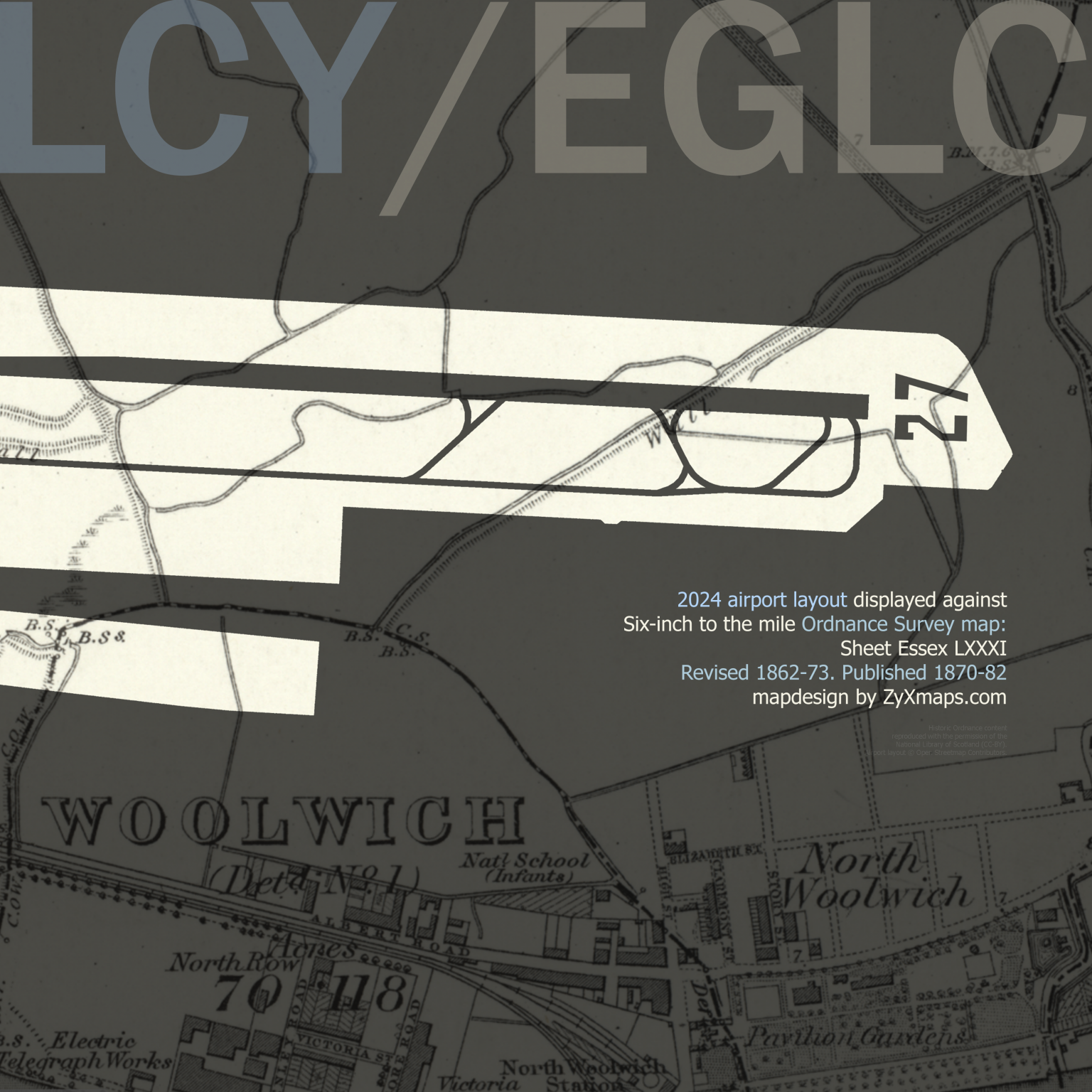
Swipe map to reveal full extent (east-west). Zoom-in (click/pinch) for more detail.
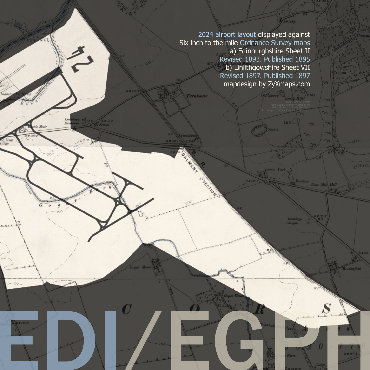
London Gatwick Airport, originally named Tinsley Green Aerodrome, opened in 1930 as a private airfield. Situated approximately 29.5 miles south of Central London, the airfield quickly evolved into a commercial airport. In 1933, it was granted its first public license and began regular air services to destinations such as Paris and Belfast. The expansion continued, and during World War II, Gatwick was requisitioned by the Royal Air Force to serve as a military base, playing a significant role in supporting the war effort.
Post-war, Gatwick underwent substantial redevelopment, and in 1958, it was officially reopened by Queen Elizabeth II as London Gatwick Airport, boasting a new terminal building designed to handle increased passenger traffic. The introduction of the “pier” design, allowing aircraft to park directly alongside the terminal, was a pioneering feature that enhanced the airport’s operational efficiency. Throughout the 1960s and 1970s, Gatwick experienced rapid growth, accommodating both domestic and international flights, with numerous airlines establishing operations there. Its location and accessibility made it a popular choice for holidaymakers and business travelers alike.
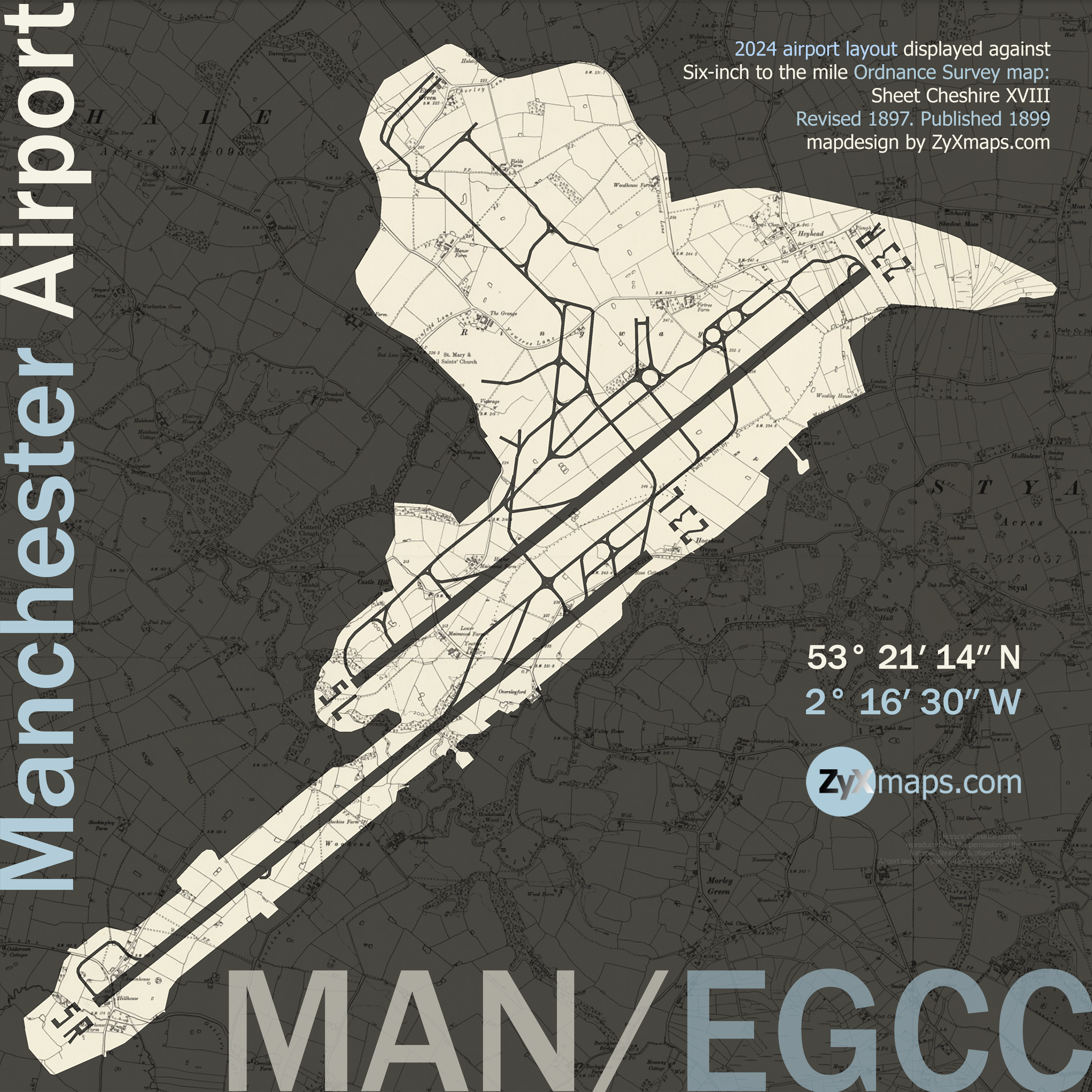
Fly to another aiport map: Manchester airport
© 2025 ZyXmaps.com
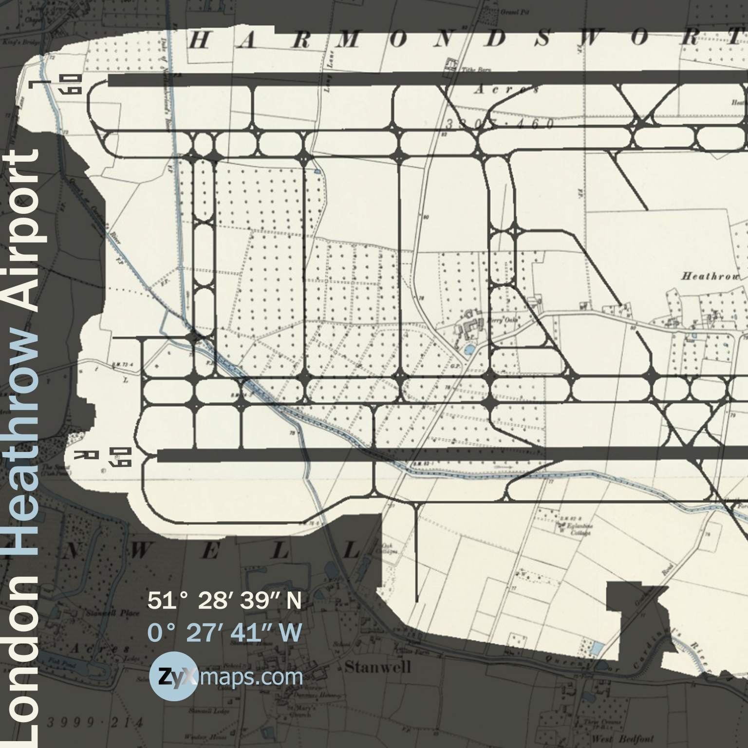
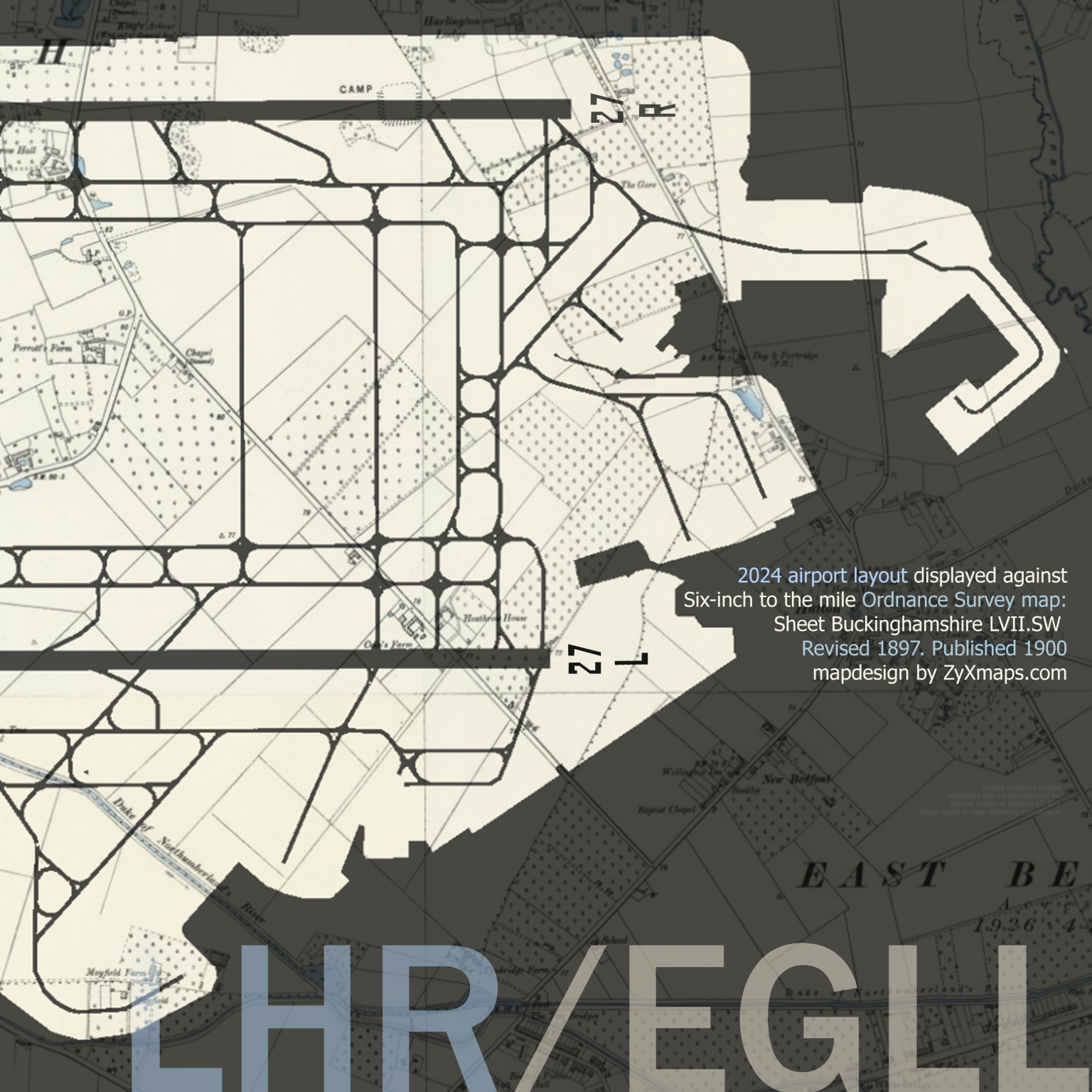
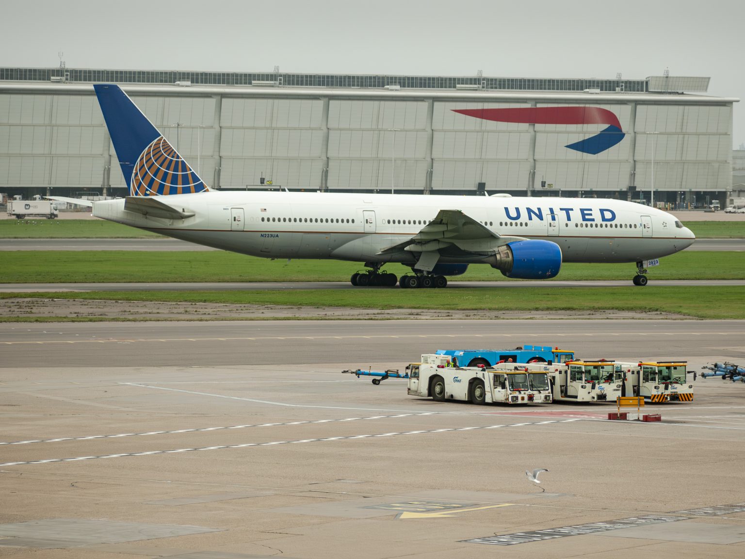
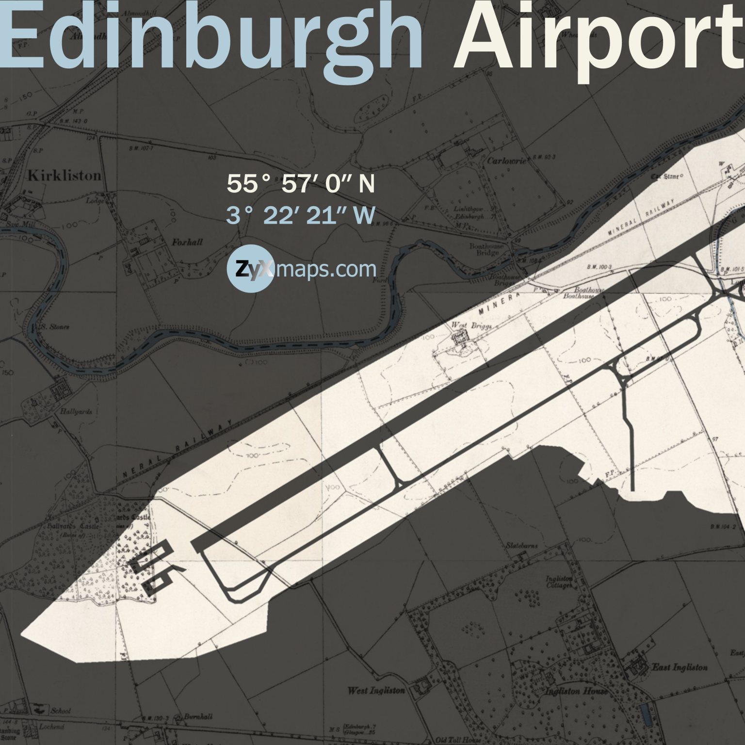
Historic Ordnance Survey mapping used for ZyXmaps’s ‘UK airport landscapes’ series is reproduced with the permission of the National Library of Scotland (CC-BY). Airport layout © Open Streetmap Contributors. Photographs © edition ND.