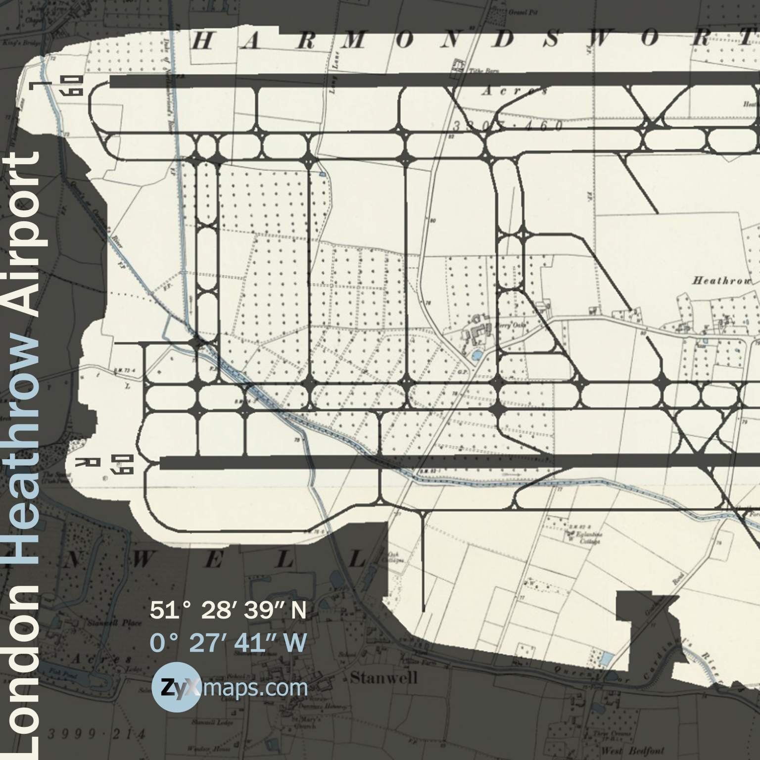
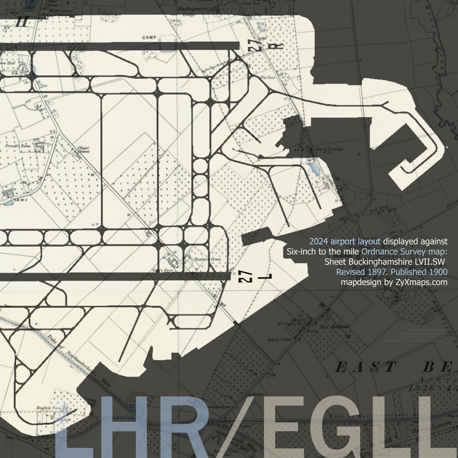
Swipe map to reveal full extent (east-west). Zoom-in (click/pinch) for more detail.
London Heathrow Airport, located in the London Borough of Hillingdon, began its operations in 1946 as a civil aviation airport, initially using ex-military tents as terminal buildings. Originally known as London Airport, it was officially renamed Heathrow Airport in 1966, deriving its name from the small hamlet of Heathrow that previously existed on the site. The airport quickly established itself as a major hub for international travel, with its first transatlantic flight taking off in 1946.
The airport’s expansion has been significant over the decades. The first permanent terminal building, Terminal 1, opened in 1969, followed by the addition of Terminals 2, 3, 4, and 5 in subsequent years to accommodate the growing number of passengers. The development of Heathrow’s infrastructure included the construction of two runways and the creation of modern facilities designed to provide a seamless travel experience. The opening of the Heathrow Express rail link in 1998 further enhanced accessibility to central London, cementing the airport’s role as a crucial transportation hub.
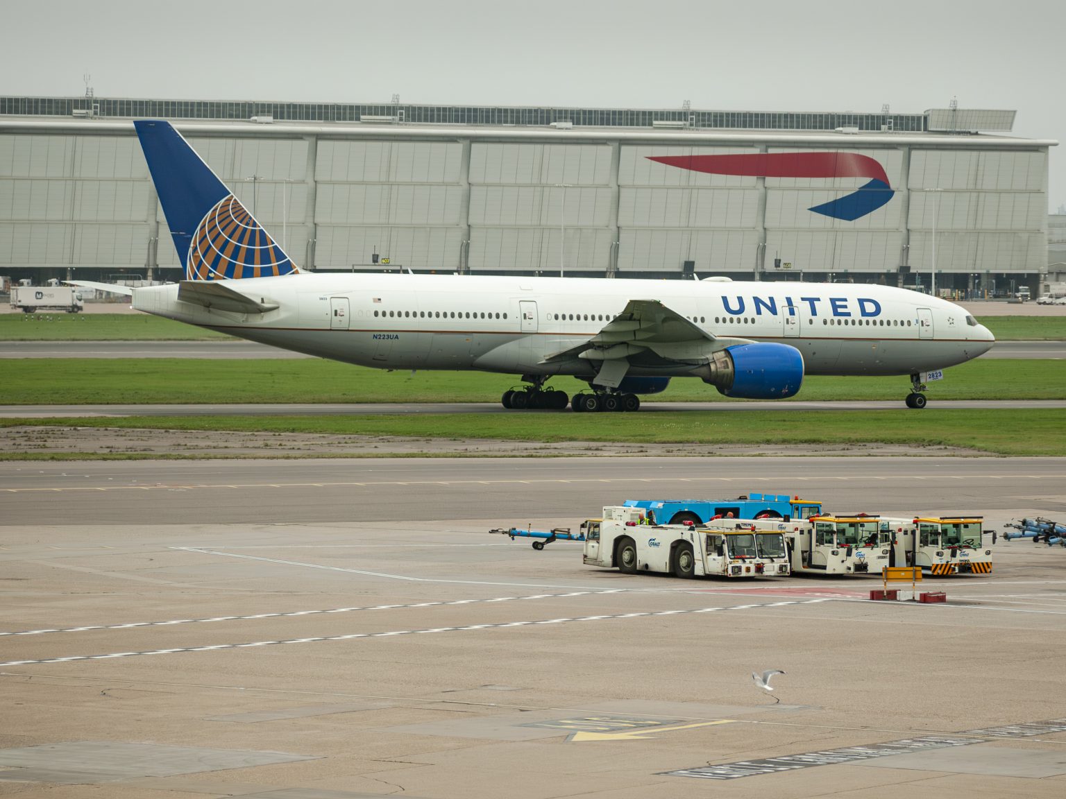
From Heathrow United Airlines flies to Houston, TX twice a day, using aircraft such as this Boeing 777-200ER
Today, London Heathrow Airport is one of the busiest airports in the world, handling over 80 million passengers annually and serving as a primary gateway for international travel. The airport offers flights to over 180 destinations across more than 90 countries.